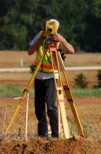
Contour Surveys
A contour survey can locate and describe all land surface features and render such natural features and elevations on a map. Usually, the use of a 3D or 3-dimensional map includes both natural and constructed features and improvements. But to be more specific, it reveals the property's location, size, height and any slight elevation changes. Further, contour surveys are specially used for:
- Professional Registered Surveyors
- Latest GPS & Laser Technology
- Over 20 Years Experience
- Free Advice & Estimate
- The construction and execution of architectural projects
- The tool for environmental restoration, changes and improvements
- The only of complying with regulatory requirements for construction laws
- The aid for putting upgrading or drainage systems
- The proper method of changing the purpose of an already developed land
Moreover, the use of topographic surveys, which is more popularly known as contour surveys, is needed as part of selling lands, development of properties, civil engineering design and construction projects, such as:
- New Construction
- Remodeling Projects of Existing Infrastructures
- Design of Utilities
- Road Construction
- Bridge Designs
- Land Improvements
- Grading Projects
- Drainage Projects
The Contour Surveyors You Can Trust
Contour surveys are needed by many local government bodies to assess the existing conditions and elevations of a property. Coupled with a boundary survey, architects and engineers widely used this type of survey in creating the most accurate and appropriate designs. When it comes to that, Surveyors Wollongong is the company to turn to.
Frequently Asked Questions
How much does a contour survey cost?
What contour interval do I need?
Do I need a contour survey for my DA?
Can you survey steep hillside blocks?
Our Other Surveying Services
Contact us today for a free quote.